News

Spectacular premiere at the IDE-World of Measurements!
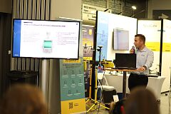
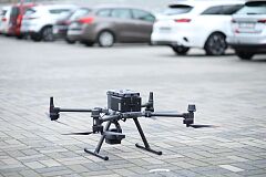
DJI Zenmuse L2 is an innovative laser scanner that combines the LiDAR module, a mapping camera, and a precise IMU system for a more comprehensive solution. It has a three-axis gimbal that gives it unprecedented accuracy and efficiency, - essential in acquiring 3D data. The Zenmuse L2 sensor can cover up to an area in one flight of 2.5 square kilometers. Additionally, it records as many as 5 reflections, making it extremely effective in all types of missions, even in areas with very dense vegetation. After a short presentation, event participants could see the scanner at work.
- Such a device can be used in almost any industry, for example, in landfills. A drone can fly over such a landfill in search of emerging gases, determine the type of these gases, and thus determine whether a given landfill is safe or poses an explosion risk - said Piotr Rozenbajgier from NaviGate - We can do it safely, from a safe distance, without sending a person to such a place.
On the second day of the event (24 November), NaviGate representatives gave a lecture on "Advanced archaeological, surveying and construction measurements using unmanned aerial vehicles."


