News
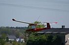
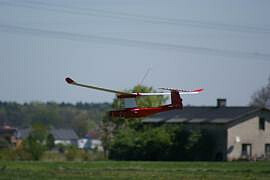
Unmanned Aerial Systems in Targi Kielce
22 may 2013
Market novelties displayed at the AUTOSTRADA-POLSKA expo
The technology these unusual appliances utilise is based on optical data processing; this allows for accurate surface representation and mapping. The system also provides for camera lenses inaccuracy correction.
The optical method produces precise area representations presented in metric photographs; thus there are accurate distance and surface maps.
Unmanned aviation systems can be utilised in area and structure inventories, investment realisation reports, green area registration, natural disaster loss and damage assessment, precise farming, site location plans and height maps. The systems offer new possibilities for cartography and geodesy; photographic map production becomes much more economical compared to traditional methods.
22nd May at 11 – Targi Kielce – presentation of FOTOMAPY is to be held at the E2 conference room. Specialists will be available to answer all the queries and to present the unmanned plane’s abilities.